

Explore the Ethels of the Peak District
A collection of 95 hills in the Peak District, named in honour of Ethel Haythornthwaite.
Interactive map with landscape photography gallery and walking routes.
Over the past few years exploring the Peak District, I’ve discovered numerous trig points, cairns, burial mounds, and breathtaking viewpoints. It occurred to me that there must be an official list of hills, akin to the Wainwrights in the Lake District or the Munros in Scotland. After some research, I came across the Ethels, a collection of 95 hills in the Peak District, named in honour of Ethel Haythornthwaite, a pioneering environmentalist. Born in Sheffield in 1894, Ethel founded the Sheffield Association for the Protection of Rural Scenery in 1924, which became the Peak District and South Yorkshire branch of the Campaign to Protect Rural England (CPRE) in 1927. Her tireless campaigning, including saving the Longshaw Estate from development and establishing Sheffield’s Green Belt in 1938, was instrumental in the National Parks and Access to the Countryside Act 1949, leading to the creation of the Peak District as Britain’s first national park in 1951. The Ethels list, devised in May 2021 by CPRE volunteer Doug Colton, includes hills mostly over 400 metres, such as Kinder Scout and Mam Tor, plus notable lower hills like Thorpe Cloud. The list was created to celebrate Ethel’s legacy and encourage exploration of the Peak District.
I had already visited some of these hills, but many remained unexplored. In autumn 2024, I embarked on a quest to complete all 95 Ethels, achieving this goal by spring 2025. Fortunately, during this period, I encountered incredible conditions to capture these Ethels with my camera, resulting in some stunning photographs.
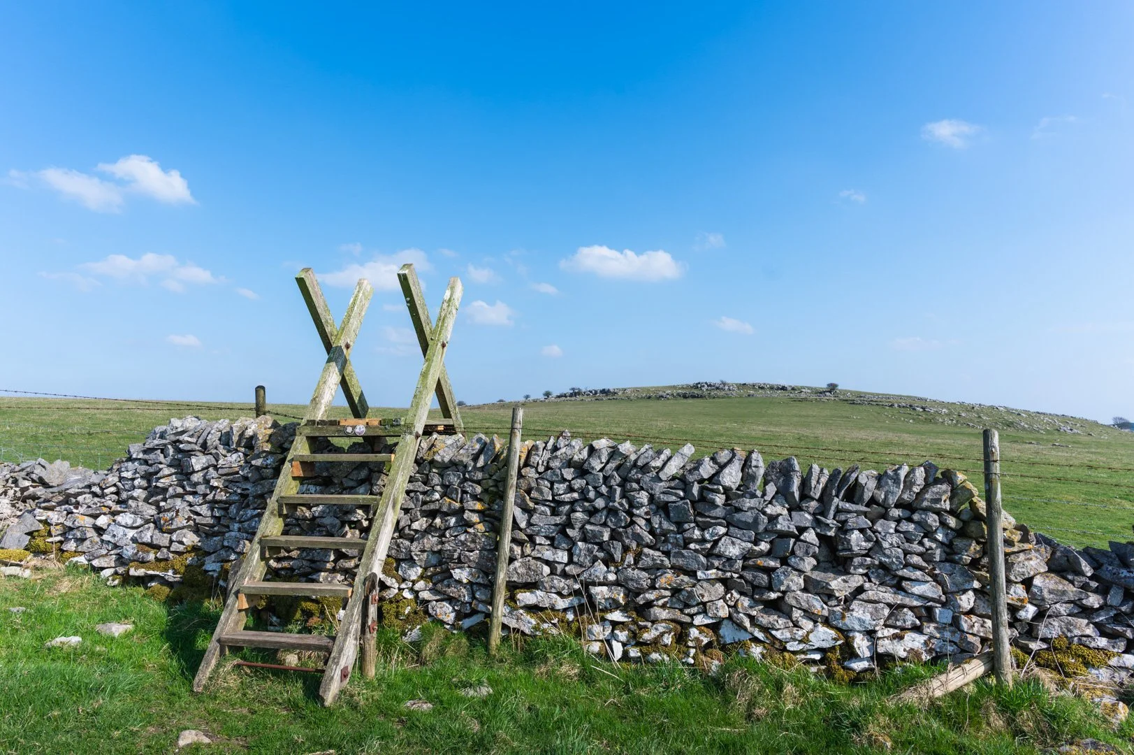
I have included an interactive map of all the Ethels, featuring my images to help identify each location and OS Map walking routes. Use this as a guide for Peak District photography and walking locations. Below is a full gallery, and a filtered data table for name, height, grid references and walking routes to help you plan your next adventure.


Breakdown of the Ethels
The Ethels are categorized by height and prominence, covering a range of landscapes from the rugged Dark Peak to the gentler White Peak, and include the six county tops of Cheshire, Derbyshire, Staffordshire, South Yorkshire, West Yorkshire, and Greater Manchester. Here’s the detailed composition:
Four Hills Over 600m (The Sixers): These are the highest peaks in the Peak District, all located in the northern Dark Peak’s Pennine Moors:
Kinder Scout: 636m, the highest point in the Peak District, known for its vast moorland and gritstone edges.
Bleaklow: 633m, a remote moorland summit with dramatic peat bogs.
Higher Shelf Stones: ~621m, part of the Bleaklow massif, known for its gritstone formations.
Grindslow Knoll: ~601m, a prominent knoll on Kinder Scout’s southern edge, offering expansive views.
27 Hills Over 500m (The Fivers): These include peaks with summits at or above 500 meters but below 600 meters, such as:
Mam Tor (517m): Known as the “Shivering Mountain,” famous for its Bronze Age hill fort and Great Ridge views.
Shining Tor (559m): The highest point in Cheshire, with panoramic views over the Cheshire Plain.
Win Hill (462m, often included in broader counts): A prominent hill with views over Ladybower Reservoir.
Other examples include Axe Edge Moor, Brown Knoll, and Lose Hill. The exact list of 27 varies slightly by source, as some hills like Win Hill are debated for inclusion in the 500m+ category due to prominence or boundary definitions.
37 Hills Over 400m (Part of the Sub-Fivers): These are hills with summits between 400 and 499 meters, such as:
Shutlingsloe (506m): Known as the “Matterhorn of Cheshire” for its distinctive shape.
Stanage Edge (458m): A famous gritstone escarpment popular with climbers and walkers.
Derwent Edge (~450m): Known for its dramatic tors and views over reservoirs. Also my favourite place for photography, Salt Cellar.
27 Prominent Hills Below 400m (Part of the Sub-Fivers): These are lower hills with significant character or prominence, often iconic landmarks:
Thorpe Cloud (287m): A striking limestone hill at the entrance to Dovedale.
Parkhouse Hill (~360m): A steep, dragon-back hill in the White Peak, ideal for photography.
Harthill Moor (272m): The lowest Ethel, home to the Nine Ladies Stone Circle. These hills were selected for their cultural, historical, or scenic significance, despite not meeting the 400m height threshold.
Five Marilyns: A Marilyn is a hill of any height with a topographic prominence (drop) of 150 meters or more on all sides. The Ethels include five Marilyns:
Kinder Scout (636m)
Shining Tor (559m)
High Wheeldon (~422m)
The Cloud (~343m)
Gun (~385m) These hills are notable for their relative isolation and prominence, making them stand out in the landscape.
Six County Tops: The Ethels include the highest points of the six counties within or bordering the Peak District:
Cheshire: Shining Tor (559m)
Derbyshire: Kinder Scout (636m)
Staffordshire: The Roaches (~505m, though some sources debate this)
South Yorkshire: Margery Hill (~546m)
West Yorkshire: Black Hill (~582m)
Greater Manchester: Black Chew Head (~542m)
Sourced from CPRE, please note, not all of these are on Open Access Land. Information can be found within the Ethels App.

Aleck Low

Alphin Pike

Alport Moor

Ashway Moss (The Trinnacle)

Axe Edge Moor

Back Tor (Derwent Edge)

Black Chew Head

Black Edge (Combs Moss)

Black Hill

Black Hill (Whaley Moor)

Blakelow Hill (Bonsall Moor)

Bleaklow

Bole Hill (Burton Moor)

Bolehill (Cromford Moor)

Bradwell Moor

Britland Edge Hill

Brown Knoll

Burbage Edge (Goyts Moss)

Burton Bole (Shatton Moor)
Carder Low

Cats Tor

Cheek Hill

Cherlmorton Low

Chinley Churn
Chrome Hill (Dragon's Back)

Combs Head

Corbar Hill (Corbar Cross)

Cown Edge

Croker Hill

Crook Hill

Dead Edge End

Durham Edge (Abney Moor)

Eccles Pike

Ecton Hill

Eldon Hill

Featherbed Moss

Featherbed Top (Ashop Moor)

Fin Cop

Foxlow Edge

Gantries Hill

Grin Low (Solomon's Temple)

Grindslow Knoll

Gun

Harboro Rocks

Harland Edge (Beeley Moor)

Harthill Moor

Hen Cloud

Higger Tor

High Edge

High Neb (Stanage Edge)

High Stones (Howden Edge)

High Wheeldon

Higher Shelf Stones

Hollins Hill

Kinder Scout (Kinder Low)

Lantern Pike

Lees Moor

Longstone Moor

Lord's Seat (Rushup Edge)

Lose Hill

Lost Lad (Derwent Edge)

Mam Tor

Margery Hill

Merryton Low

Mill Hill

Minning Low

Mount Famine

Musden Low

Oliver Hill

Parkhouse Hill (Dragon's Back)

Pilsbury Hill

Ramshaw Rocks

Revidge

Shining Tor

Shutlingsloe

Sir William Hill (Eyam Moor)

Slitherstone Hill

Snailsden Pike End

Sough Top (Taddington Moor)

South Head

Sponds Hill

Stanage Pole

Stanton Moor

The Cloud

The Roaches

Thorpe Cloud (Dovedale Valley)

Tissington Hill

Wardlow Hay Cop

Wetton Hill

Whetstone Ridge

White Low

White Path Moss (Stanage Edge)
Win Hill

Wolfscote Hill

West Nab
All 95 Ethels, filtered by alphabetical order and height ascending/descending.